
 MAGSPEC Airborne Surveys Pty Ltd is pleased to announce the recent completion of flying of 110,000 line kilometres of high resolution magnetic, radiometric and DEM survey, on behalf of the Geological Survey of Western Australia (GSWA); a division of the Western Australia Department of Mines and Petroleum (DMP). Geoscience Australia (GA) is managing the survey on behalf of GSWA. GA is a Federal Government entity of the Commonwealth Department of Industry and Science.
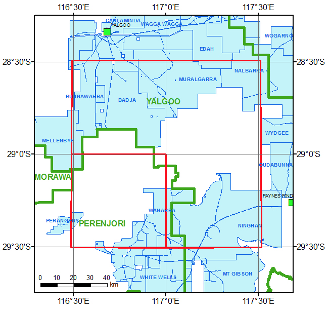
MThe flight line spacing of the survey is 100 metres at 50 metre AGL flying height and covers approximately 11,200 square kilometres in the Yalgoo region of Western Australia.
This project is part of the WA Government's initiative to support the regional geological mapping of Western Australia. The final processed data will made available free of charge from the DMP website (www.dmp.wa.gov.au/geophysics) and the Australian Government Geoscience Portal (www.geoscience.gov.au).
Contact MAGSPEC Airborne Surveys Australia
Phone +61 8 6260 204 | 21 Triumph Avenue Wangara, Western Australia Australia 6065